03 Mar Hike Lower Buffalo Wilderness
Date: Mar 4 2020, 9:30 AM
Type: Day hike
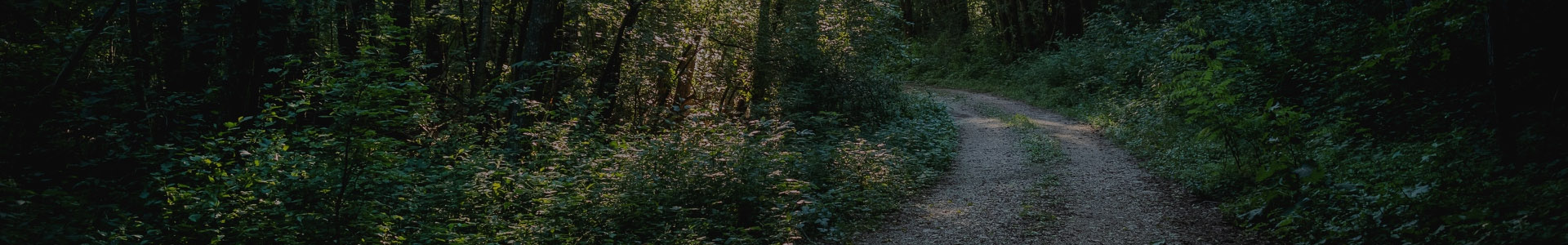
Location: Lower Buffalo Wilderness, Cozahome trail head to Natural Bridge
The hike will be more akin to a bushwhack as there are only horse trails. There are no creek crossings.
NOTE: This will be an adventure hike since we have not been there before. We will use the GPS and map and attempt to find our way around the loop of Brantley Bend.
Distance of hike: approx. 7 miles ?? (We’ll know when it’s done!)
Difficulty of hike: moderate to difficult due to part of the hike being a bushwhack, the rest of the hike being on horse trails that tend not to be well maintained, and the typical elevation gains and losses.
Meeting Time: 9:30 a.m.
Meeting place: The Cozahome turnoff from Highway 14 which is approximately 20 miles south of the intersection of Highways 62 and 14 in Yellville, Arkansas, or about 4 miles north of Harriet, Arkansas, on Highway 14 (please check out the attached map of the area—disregard the red circle for Devil’s Tea Table. The right-hand red circle shows the TH where we will begin)
Plan: We will meet at the parking lot of the Rock Creek Community Building which is adjacent to the south end of Rock Creek Cemetery. From there we will caravan to the Cozahome TH.
Extras: All ages welcome. Please bring a lunch, water, and proper hiking gear (boots, headlamp, cap/beanie, gloves, etc.) Hiking stick recommended.
Contact: If you plan on making this hike, please contact Kris McMillen prior to the hike so she will know who all will be on the hike and so she can let you know if the hike is postponed due to weather — phone/text: (501)984-3774/; email: krismcmillen7@gmail.com
Sorry, the comment form is closed at this time.