
Shop
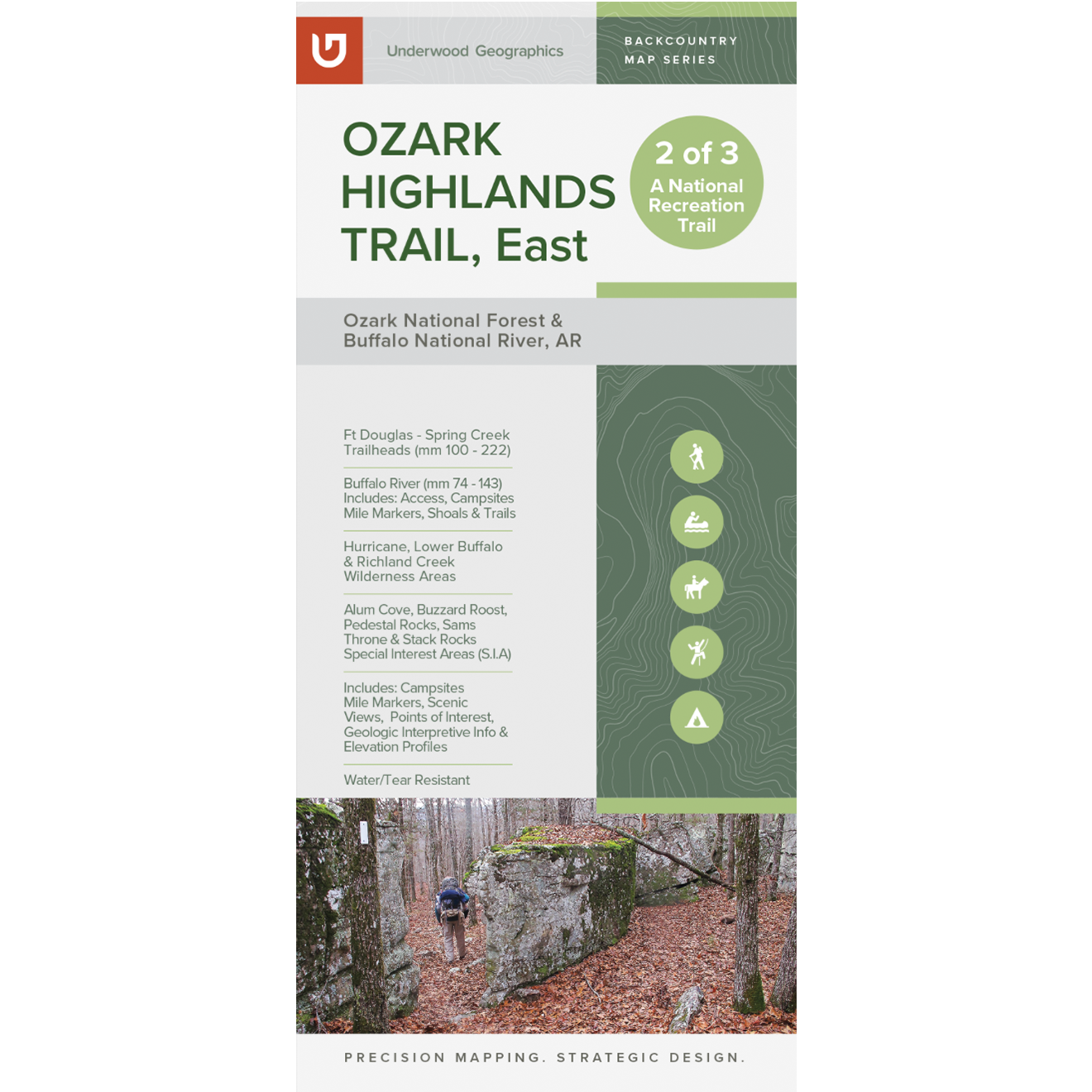
OHT East Map – 4th Edition (mm 100-222)
$20.00
Description
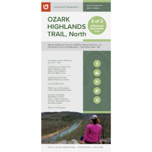
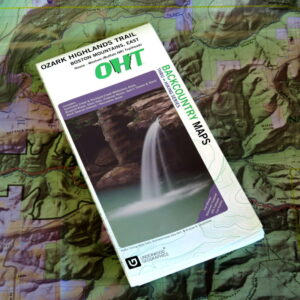
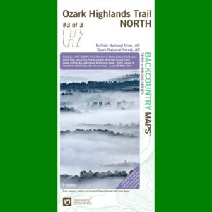
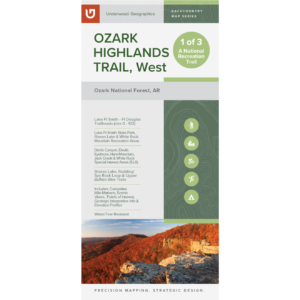
This map covers 122 trail miles, between the Fort Douglas and Spring Creek (ONF) trailheads, including the Hurricane Creek Wilderness Area, Richland Creek Wilderness Area, Lower Buffalo Wilderness Bushwhack.
Duplexed map printed on 4.2 mil HopSyn waterproof/tearproof paper that includes trail mileage, trail profiles, campsites, scenic views, points of interest, waterfalls, geology of the area, and much, much more.
Size: 38.25” x 25.75”, Folding to 4.25” x 9.25”
Scale: 1:50,000
If ordering quantities over 10 or shipping outside continental U.S., please contact orders@ozarkhighlandstrail.com.
Price includes sales tax and shipping.