
Shop
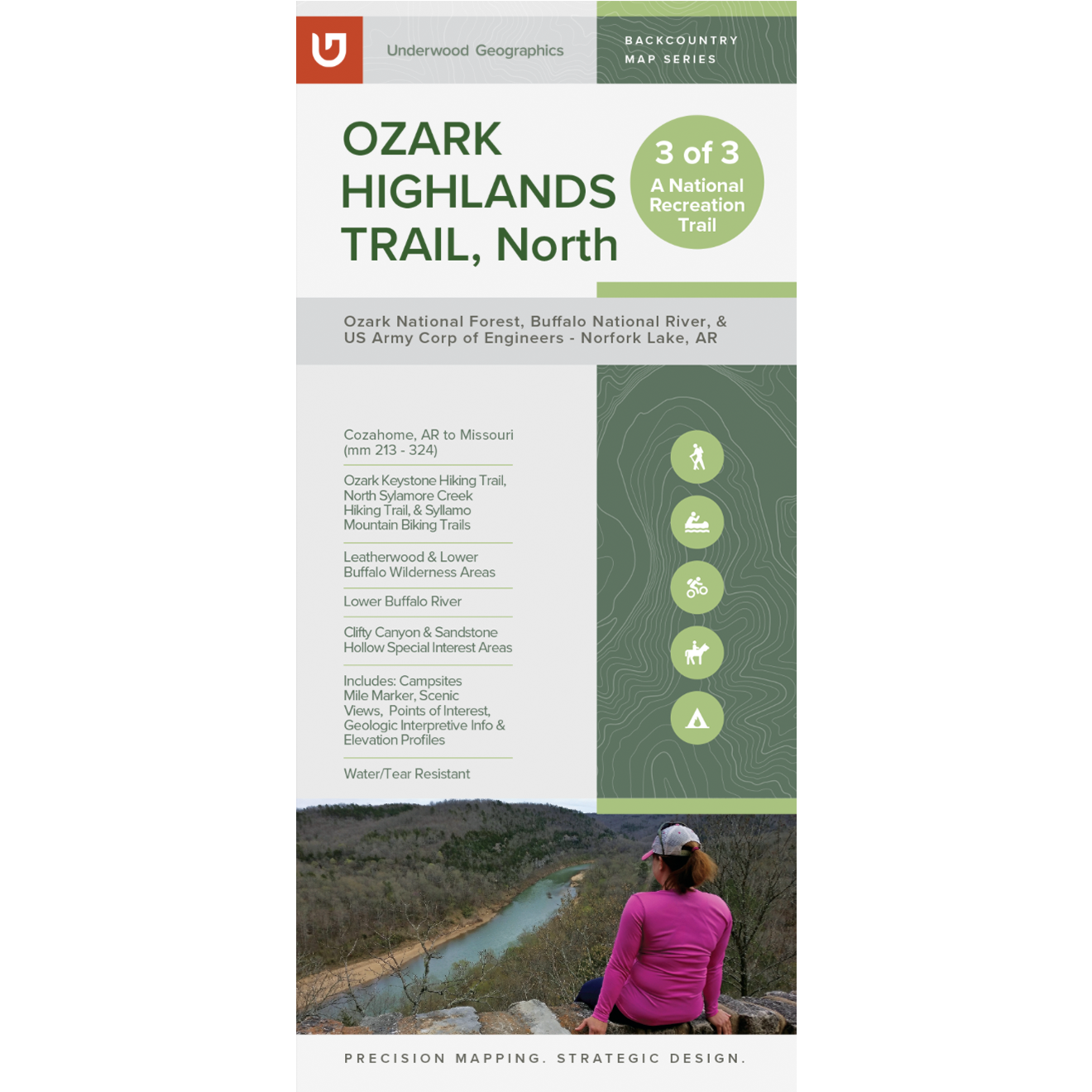
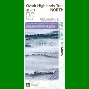
OHT North Map – 4th Edition (mm 213-325)
$20.00
Description
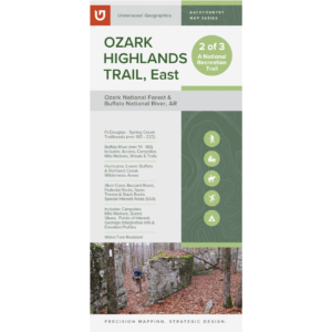
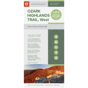
This map covers the most recently completed section of the OHT with 111 trail miles from Cozahome to the Missouri state line, including the Sylamore Ranger District and the Army Corp of Engineers’ Norfork Lake section (also known as the Ozark Keystone Trail). With the help of an inset, this map also includes over 50 miles of Syllamo mountain biking trails.
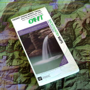
Duplexed map printed on 4.2 mil HopSyn waterproof/tearproof paper that includes GPS data for trailheads, trail mileage, trail profiles, campsites, scenic views, points of interest, waterfalls, geology of the area, and much, much more.
Size: 38.25” x 25.75”, Folding to 4.25” x 9.25”
Scale: 1:50,000
If ordering quantities over 10 or shipping outside continental U.S., please contact orders@ozarkhighlandstrail.com.
Price includes sales tax and shipping.